コンテンツ
野底マーペー(石垣島)
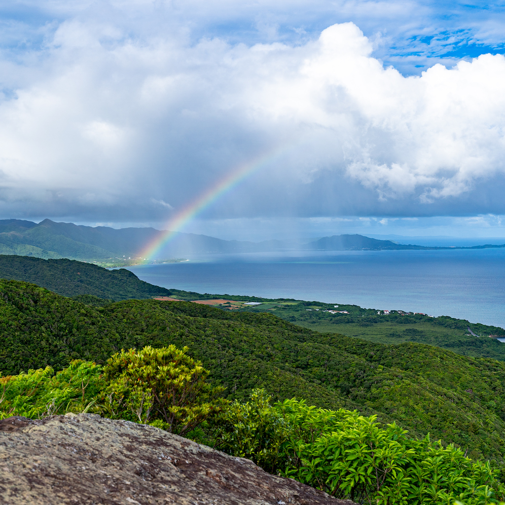
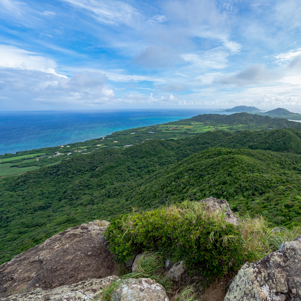
石垣島の中で2番目に高い「野底マーペー(野底岳)」。ショートコースであれば20分ほどで登れる山頂は、青い海と八重山の島々が一望できる絶景スポットです。視界を遮るものがなく、360度どこを見渡しても圧巻の景色が広がります。
“Nosoko Mape” is the second highest mountain on Ishigaki Island. It takes about 20 minutes to hit the top of the mountain on a short course, and it is a spectacular spot with a panoramic view of the blue sea and the islands of Yaeyama. There is nothing to block your view, so you can enjoy a magnificent 360° view.
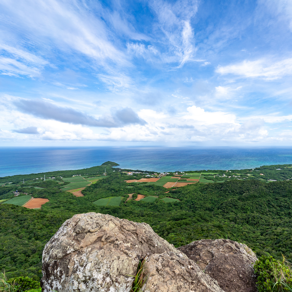
Ishigaki Island
photo by Kenichiro Akamine(NO MARK Inc.)
| 名称 | 竹富郵便局 |
| 住所 | 沖縄県八重山郡竹富町竹富500 |
沖縄の毎日を旅する「OKINAWA365」
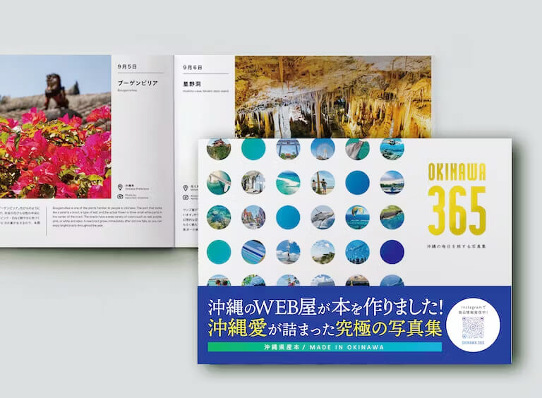
好評発売中!
沖縄のWEB屋が作った写真集
「OKINAWA 365」
沖縄愛をふんだんに詰めこんだ究極の写真集。
県内出身・在住のメンバーだからこそ知る
ディープなネタを集めました。