コンテンツ
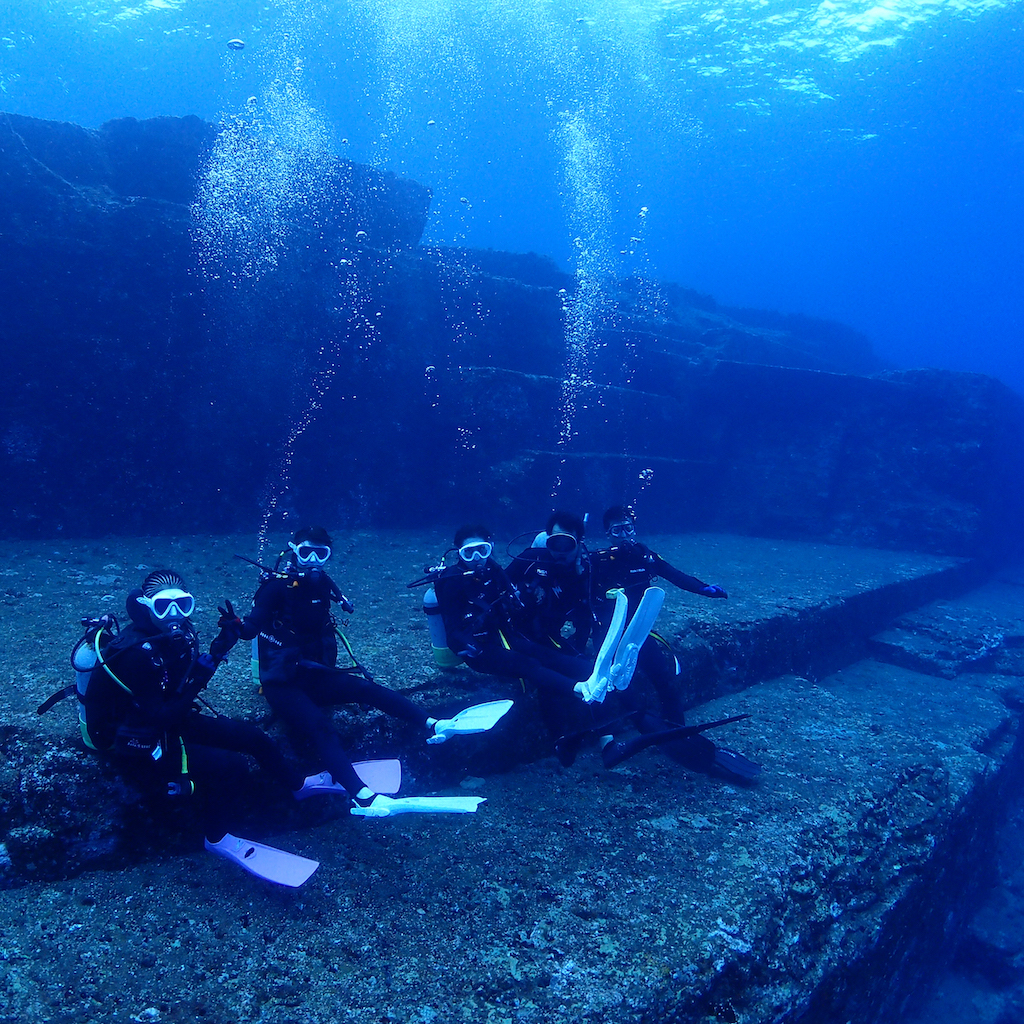
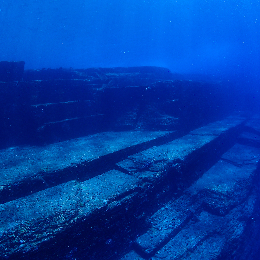
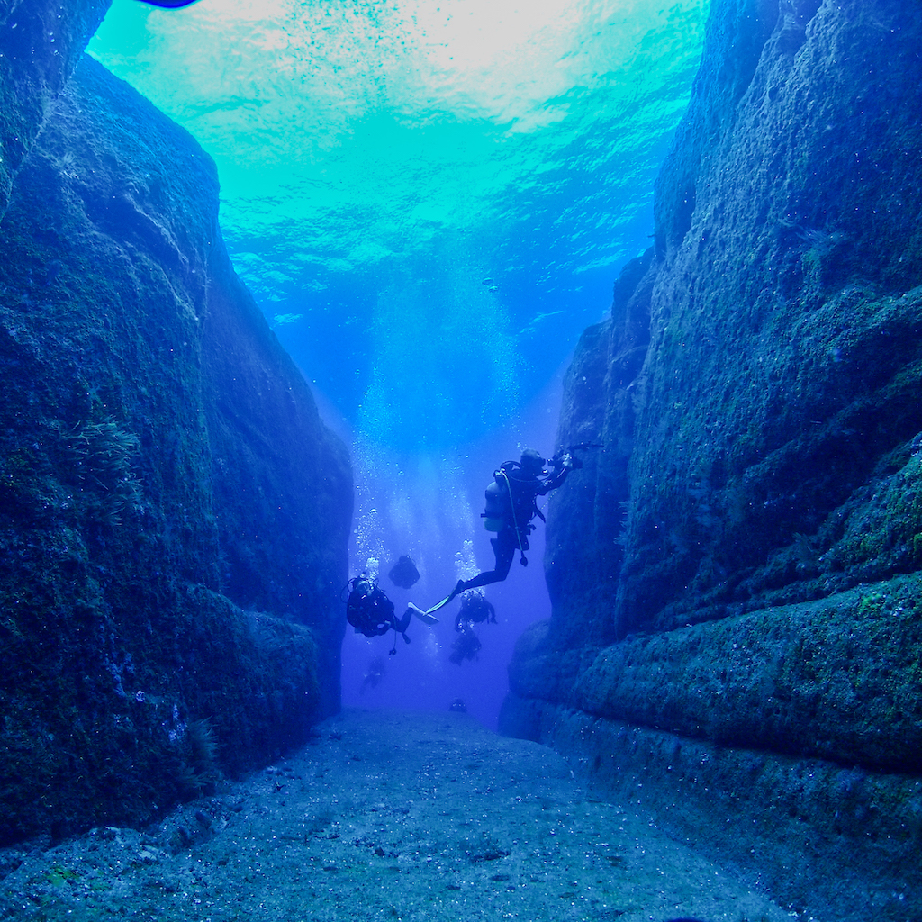
与那国島海底地形(与那国島)
ダイビングスポットが点在する与那国島の沖合で、1986年に発見された巨大石群。自然が作り出した物なのか、はたまた海底に沈んだ古代都市の遺跡なのか。謎に包まれた海底地形は、ダイバー達を魅了し続けています。
A huge group of stones discovered in 1986 off the coast of Yonaguni Island, filled with diving spots. Is it a product of nature, or is it the ruins of an ancient city that sank to the bottom of the sea? The mysterious seafloor topography continues to attract divers.
Yonaguni Island
写真提供:SOU-WES YONAGUNI
| 名称 | 与那国島海底地形 |
| 住所 | 沖縄県八重山郡与那国町 |
沖縄の毎日を旅する「OKINAWA365」
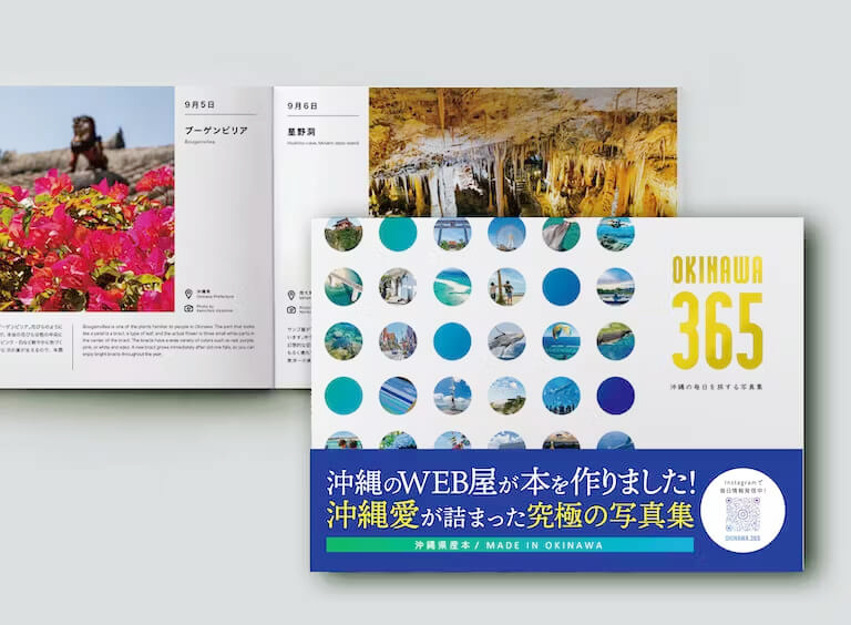
好評発売中!
沖縄のWEB屋が作った写真集
「OKINAWA 365」
沖縄愛をふんだんに詰めこんだ究極の写真集。
県内出身・在住のメンバーだからこそ知る
ディープなネタを集めました。